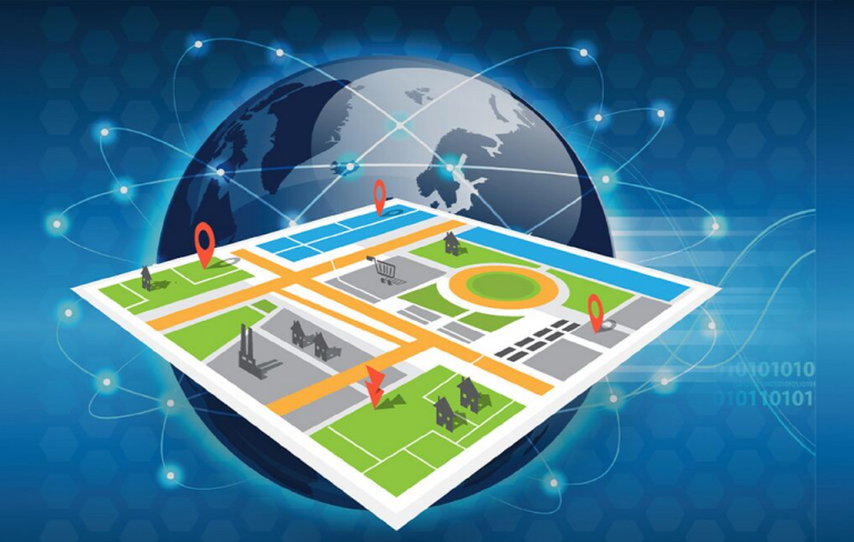
The World as a Data Canvas: How Geospatial Analytics is Painting a Smarter Future

From optimizing global supply chains to predicting the path of wildfires, the ability to analyze data through a geographic lens is transforming how we understand and interact with our world. Geospatial analytics, the practice of gathering, processing, and interpreting location-based information, has moved far beyond simple digital maps. It is now a critical decision-making tool, fueled by satellite constellations, AI, and the Internet of Things (IoT), that turns raw geographic data into actionable intelligence for businesses and governments alike.
According to Straits Research, the global geospatial analytics sector was valued at USD 83.93 billion in 2024 and is projected to reach from USD 93.92 billion in 2025 to USD 230.88 billion by 2033, growing at a CAGR of 11.9% during the forecast period (2025-2033). This impressive growth is a testament to the expanding recognition that location is not just an attribute of data—it is often the most important variable for unlocking insights.
Key Players and Geographic Innovations
The field is a dynamic ecosystem of established mapping giants, specialized software firms, and cloud hyperscalers.
-
North America: A hub for both technological innovation and major end-users. Esri (USA) remains the dominant force with its ArcGIS platform, which has evolved into a comprehensive geographic information system (GIS) used by cities and corporations worldwide for spatial modeling and analytics. Google (USA) leverages its vast mapping data and cloud infrastructure through Google Earth Engine, providing powerful geospatial processing capabilities for environmental and planetary-scale analysis. Hexagon AB (Sweden with a major US presence) provides geospatial solutions for industrial and public safety applications.
-
Europe: The region has strong capabilities in earth observation and defense-related applications. Airbus (France) and Satellite Imaging Corporation provide high-resolution satellite imagery and derived analytics for agriculture, forestry, and urban planning. The European Union's Copernicus Earth observation program provides a massive amount of free and open data, fueling innovation across the continent.
-
Asia-Pacific: The region is experiencing rapid growth, driven by smart city initiatives and infrastructure development. RMSI (India) is a leading global player in geospatial solutions, particularly in disaster risk management and land administration. Chinese tech giants like Baidu and Alibaba are integrating advanced geospatial analytics into their smart city and logistics platforms, managing everything from traffic flow to last-mile delivery optimization.
Analysis: Drivers of Growth and Emerging Trends
The 11.9% CAGR is driven by an explosion of location-aware data from satellites, drones, and IoT sensors. The need to mitigate climate change risks and manage natural resources more effectively is also a major catalyst. Furthermore, the proliferation of real-time location data from smartphones is creating new opportunities for urban mobility and consumer analytics.
Key trends shaping the future of geospatial analytics include:
-
AI and Machine Learning Integration: AI is revolutionizing the field by automatically extracting features from imagery (like counting cars or identifying building types), predicting spatial patterns (such as crime hotspots or disease spread), and processing vast datasets that would be impossible to analyze manually.
-
The Rise of Real-Time Analytics: The ability to process and analyze streaming geospatial data from sensors, vehicles, and mobile devices is enabling real-time applications like dynamic routing for autonomous vehicles, immediate disaster response, and live monitoring of asset movements.
-
Democratization through Cloud Platforms: Cloud-based geospatial platforms from Google, Amazon Web Services (AWS), and Microsoft Azure are making powerful processing tools and vast datasets accessible to a wider range of businesses and developers, lowering the barrier to entry and accelerating innovation.
Recent News and Developments
The sector is advancing through significant partnerships and technological leaps. Esri recently announced a new partnership with Microsoft to deeply integrate ArcGIS with Azure Cloud and Azure Synapse Analytics, enabling larger-scale spatial data science. Planet Labs (USA) launched new higher-resolution satellite imagery products, providing more frequent and detailed views of the Earth. In a move highlighting the importance of climate data, Google unveiled new AI-powered tools in Earth Engine to help map and track methane emissions from oil and gas infrastructure globally.
Summary
Geospatial analytics has evolved from a niche specialization into a mainstream technology that is essential for solving complex modern challenges. By integrating AI and real-time data, it provides a powerful framework for understanding patterns, predicting outcomes, and making smarter, more informed decisions that are grounded in the reality of location.
- Art
- Causes
- Crafts
- Dance
- Drinks
- Film
- Fitness
- Food
- Games
- Gardening
- Health
- Home
- Literature
- Music
- Networking
- Other
- Party
- Religion
- Shopping
- Sports
- Theater
- Wellness


